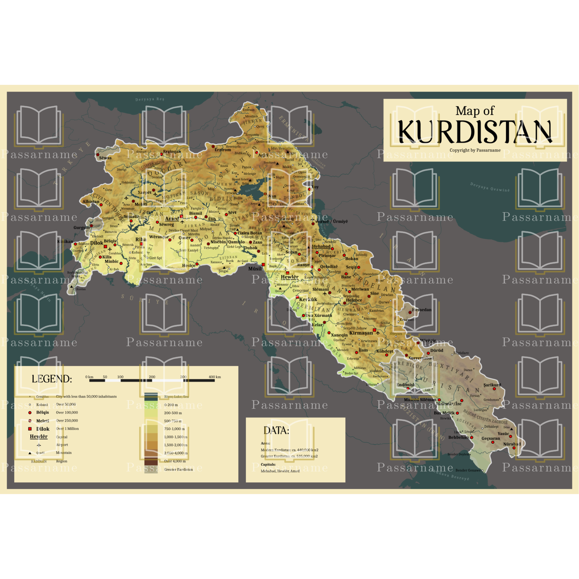
Explore Kurdistan with this high-quality and detailed map, featuring all major cities, regions, rivers, mountain ranges, and peaks. This map offers a clear and modern representation of Kurdistan, with modern Kurdistan and traditional Kurdistan distinguished by different colors for easy identification.
📍 Key Features:
✔ Detailed topographic depiction with cities, mountains, rivers & regions
✔ Modern & traditional Kurdistan clearly color-coded
✔ Kurdish-language labeling, with an English legend for easy navigation
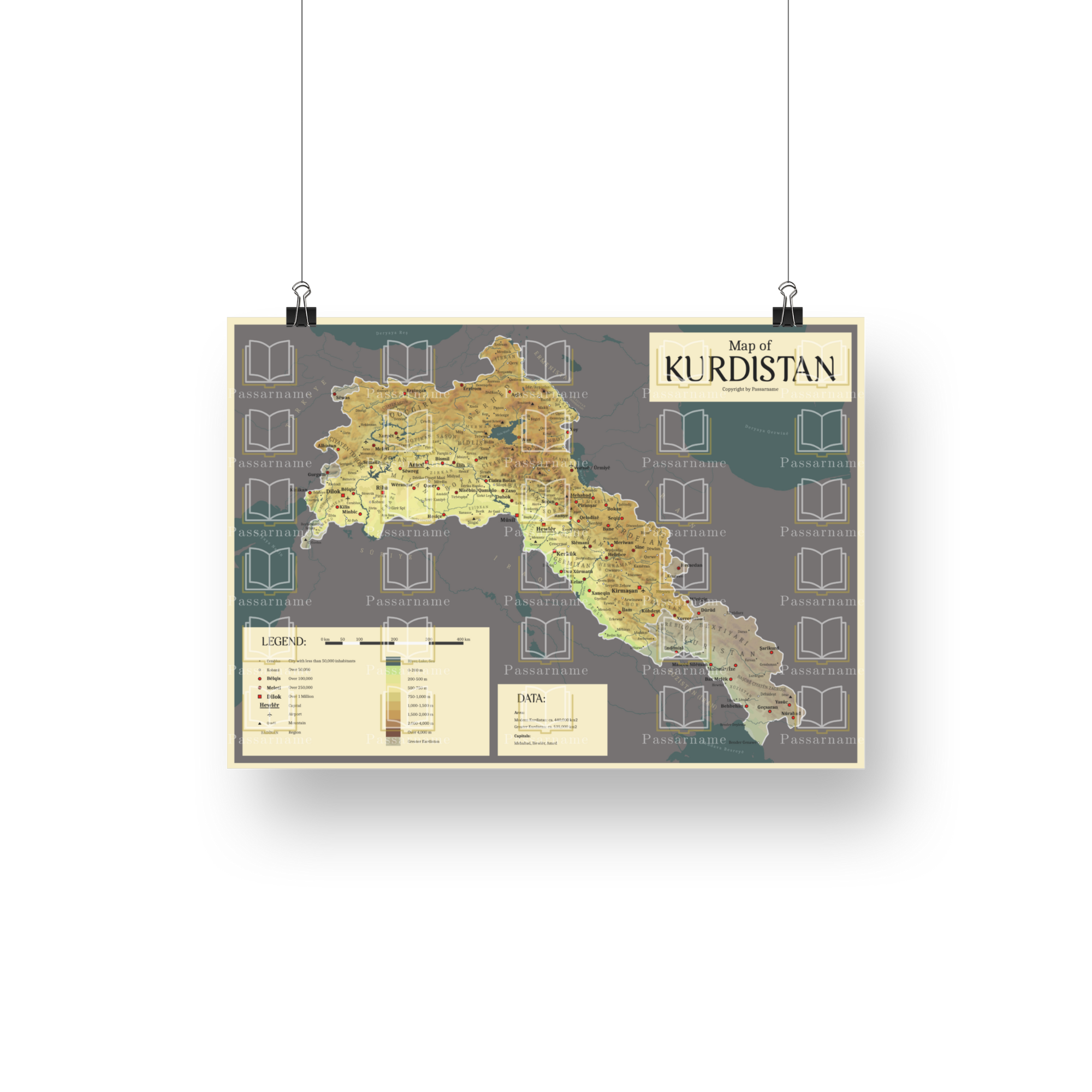
✔ Perfect for planning & education – great for travel, learning, or wall decoration
✔ DIN A2 size (594 x 420 mm / 59.4 x 42 cm) – ideal for offices, classrooms, or workspaces
📌 Versatile Use
Whether you’re planning your next trip through Kurdistan or want to better understand the geography of the cradle of civilization, the Map of Kurdistan is a perfect addition to your home or workspace.
🏔️ A unique piece of Kurdistan for your wall!
Order now and discover Kurdistan from a new perspective!
Reviews
There are no reviews yet.